
There are many ways to map New York City, including street maps of Manhattan’s famous grid, the brightly colored subway map, and souvenir maps of skyscrapers.
Those are all static maps of long-term features, however. Alternately, there is a more dynamic way to map the city: use digital technologies to show the city in motion, charting pollution, traffic, pedestrian flow, crowds, commuting patterns, and other elements of our daily urban experience.
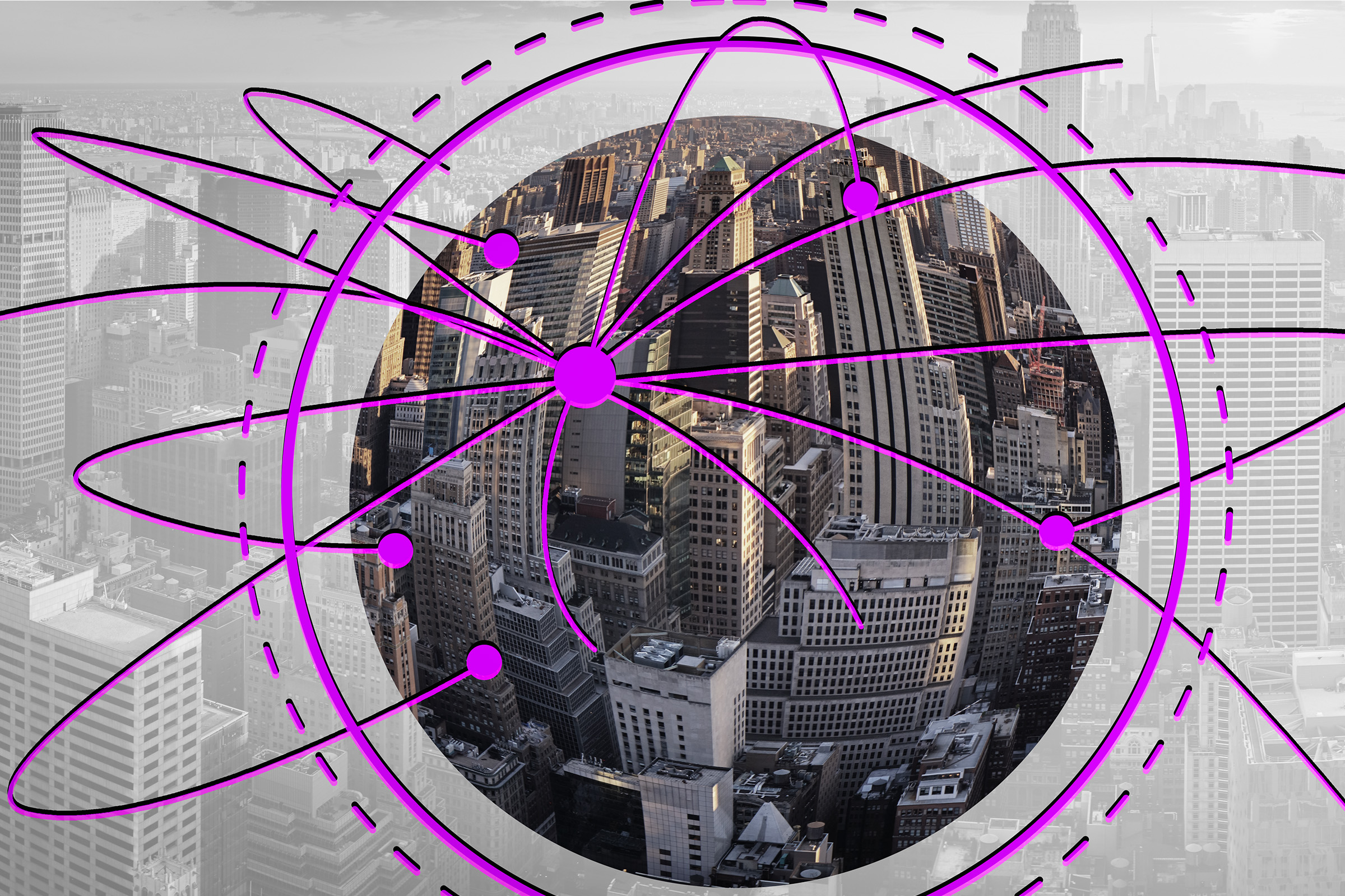
This second kind of map is a specialty of MIT’s Senseable City Lab, an urban studies center that for two decades has popularized the use of pervasive data to explain city life. Often using mobile sensors or cellphone data, Senseable City’s mapping style — emerging from peer-reviewed research — broadens cartography in multiple ways: Data-driven maps, whether displayed in video form or as still images, expand the array of things that can be charted; show changes over time; and put new information in the hands of policymakers, residents, and others who want to govern communities well.
“Used correctly, maps can be irreplaceable tools for democracy,” says Carlo Ratti, director of the Senseable City Lab. “New maps make the world more visible to all. The right maps can help individuals navigate the chaos of modern life, and empower activists to notice and highlight problems in their communities.”
Ratti and Antoine Picon, a professor at Harvard University’s Graduate School of Design, are co-authors of a visually rich new book examining the power and potential of dynamic mapping. The volume, “The Atlas of the Senseable City,” published today by Yale University Press, features both images of Senseable City Lab maps and analysis from Picon and Ratti about the evolving practice of cartography.
“These maps are a new way to apprehend the city,” says Picon, who is the G. Ware Travelstead Professor of the History of Architecture and Technology at Harvard. “They’re no longer static. Maps provide a way to visualize information. They’re crucial to diagnosing problems. I think they provide a new depth.”
Motion, connection, circulation
The new book provides ample imagery from Senseable City Lab’s past work, while delving into the ways such maps widen our understanding of urban functionality.
“We hope to reveal here an urban landscape of not just spaces and objects, but also motion, connection, circulation, and experience,” the authors write.
One of the lab’s earliest projects to gain widespread attention, “Real Time Rome,” tracked the flow of people in the city on the night of the World Cup final in 2006. A similar 2007 project, “Wikicity Rome,” helped demonstrate the viability of studying the large-scale movement of people in an urban setting. A high-profile 2009 project, “Trash Track,” based in New York City and Seattle, used sensors to trace the movement of garbage in those cities, and then across the country. Such efforts, Picon observes, opened up research possibilities that many urbanists had not necessarily considered.
“It’s a little bit like the discovery of the X-ray,” Picon says. “You can see things within cities that were not previously accessible. You don’t see everything, but you see things you were not able to see before.”
Or consider a 2019 study Senseable City Lab study examing how many streets in Manhattan a certain number of taxis cover on a typical day. A mere 10 taxis visit one-third of the borough’s streets in a 24-hour period. Thirty cover half the streets, but due to convergent routes, it takes 1,000 taxis to reach 85 percent of Manhattan’s streets on a normal day. Such a pattern also occurs in several other cities the lab’s researchers studied, from San Francisco to Vienna and Singapore, among others.
Such a mapping study has a direct policy application, by showing which urban areas may lack transportation access. It is also a powerful finding for the practice of mapping itself. Suppose you could attach mobile pollution monitors to the taxis. With a small fleet, you could monitor a large portion of the city — and more cheaply than the investment of fixing monitoring stations on every block.
Monitoring pollution is a clear example of how sensor-driven, dynamic mapping can inform good government policy. But using mapping is not just a matter of technocratic fixes: Revealing urban truths can also start political brawls. Businesses emitting pollution might not want to change their practices; landlords might resist investing in making their buildings more efficient; poorer communities might have less clout than wealthier ones. For his part, Ratti hopes “that maps lead us to a better world, galvanizing data-driven community activism,” while recognizing that this is not a simple process.
“This kind of mapping raises all kinds of political questions which are not simple,” Picon adds. “If you make a noise or pollution map of a big city, you do enter into a complex political realm. Maps always have this kind of political aspect.”
Don’t panic
In turn, due to the politics of producing maps, one of the themes of “Atlas of the Senseable City” is that people should learn to think critically about maps as well. Who collected the data for maps, and for what reason? Why is the data displayed in its current form? If maps can have political influence, anyone might develop a misleading map to benefit their own interests.
“We tend to naturally believe maps,” Picon says. “So it’s good to try to explain how they were constructed, and I think it will be all the more necessary.”
And while dynamic mapping relies on technology to produce data, Ratti adds that, for all the attention today paid to AI and other technologies, the complications of urban life means that only humans have the flexibility and judgment to craft forward-looking policy — though they need good maps to do it.
“These ideas are especially urgent in our current moment of AI panic,” Ratti says, noting that while machines can more rapidly accumulate data, people are more agile at applying it. “Humans are not good at seeing every tree in a forest, but turning data into maps allows us to do something that AI cannot — synthesize our findings and, unprompted, turn in new directions. We can be in control of where we and our cities are going, but first we need the right maps to guide us.”
Other urbanists have praised the new volume. Michael Batty, Bartlett Professor of Planning at University College London, says the book “offers a state-of-the art survey of mapping techniques and an intellectual way of understanding the purpose and possibilities of mapping.”
For their part, Picon and Ratti say they hope the book will help readers understand the many possibilities of urban mapping.
“While maps are enthralling, and for me are linked to the very experience of the city, there is always this political dimension about vision and governance,” Picon says.
“Antoine and I wrote this book to share new insights into the modern city, but also as an ode to mapping itself,” Ratti says. “In the last 30 years our capacities for cartography have absolutely exploded. It has been the privilege of a lifetime to be along for the ride at MIT, and we wanted to compile a first draft of the ongoing mapping revolution.”


